Preface
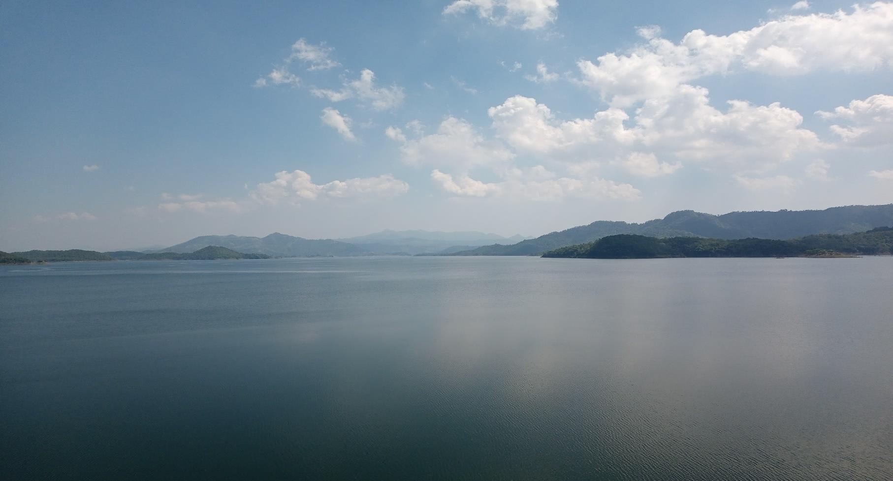
Gujarat, despite being a water deficit state, has been able to develop only 60% of its available surface water resource because no suitable inland site is available for the storage of the remaining 40% of surface water. The Saurashtra region of Gujarat has been experiencing severe droughts owing to the lowering of the groundwater table and to the scarcity of fresh water. To meet the freshwater demands for drinking and irrigation, the Government of Gujarat (GoG) proposed this Gulf of Khambhat Project, or the Kalpasar Project, which involves the creation of a freshwater reservoir in the Gulf of Khambhat through the construction of a dyke connecting the east and west banks of the Gulf. This freshwater reservoir will store 7,807 Mm³ runoff water from four rivers namely, Sabarmati, Mahi, Dhadhar and Narmada, through a diversion canal on the upstream side of the dyke. The Gulf of Khambhat extends about 250 km from north to south and the width varies from 25 km at the inner end to 250 km at the outer mouth, covering an area of 25,000 km², of which only 1,800 km² will be enclosed by constructing a dyke across the Gulf between Bhavnagar and Dahej.
The Kalpasar Project is a multi-purpose project involving the construction of (a) 60.13 km long dyke across the Gulf connecting Bhavnagar and Dahej, (b) 16-lane Roadway and 4-lane Railway lanes on the dyke to reduce the distance between Saurashtra and Bharuch, (c) Generation of 2,500 MW of power required for the pumping of water to Saurashtra region and other uses through renewable energy resources, (d) Creation of a large freshwater lake by harnessing the excess waters of the Narmada (through Narmada Diversion Canal), Mahi, Sabarmati and Dhadhar rivers, (e) Land Development, (f) Tourism.
The Government of Gujarat (GoG) had developed conceptual designs as early as in 1960's, and subsequently, scientific and engineering investigations were carried out. The investigations were initiated with a Reconnaissance Study (1989) by the Royal Haskoning DHV of the Netherlands, and later a Prefeasibility Study (1998) by Haskoning DHV. A detailed study was carried out by a team of national and international experts and a comprehensive report titled 'Six Specific Studies (1999)' was submitted to the GoG. In 2015, the National Institute of Ocean Technology (NIOT), Chennai, completed seabed investigations, such as bathymetric surveys, geophysical and other related studies, by domain experts of international repute.
The Kalpasar Department (GoG) requested MoES to submit a proposal for the preparation of a Detailed Project Report (DPR) for the Kalpasar Project. Keeping in view the expertise of institutes under the Ministry of Earth Sciences (MoES), the Kalpasar Department entrusted the work of “Preparation of Detailed Project Report” to the Ministry of Earth Sciences. MoES agreed to take up the work through National Centre for Coastal Research (NCCR), an attached office of the ministry. Accordingly, NCCR has prepared the DPR on behalf of MoES.
Currently, the Kalpasar Department of the GoG has carried out water availability studies, topographic, and geotechnical profile mapping. The NCCR commissioned subject specialists to undertake earthquake hazard assessment and traffic assessment. Also, based on the effects on the proposed dyke due to (a) earthquake shaking, (b) soil geotechnical conditions at the base of the dyke, and (c) water levels and currents on dyke closure and construction, a preliminary cross-section of dyke structures has been arrived at. Renowned premium institutes of central and state governments were identified to carry out specific work elements. These include: Arup and HR Wallingford Mumbai, CSIR National Geophysical Research Institute Hyderabad, CSIR National Environmental Engineering Research Institute, Indian Institute of Technology Madras, Indian Institute of Technology Delhi, National Institute of Wind Energy Chennai, National Institute of Advanced Studies, National Centre for Sustainable Coastal Management Chennai, L&T Infrastructure Engineering Limited, Gujarat Institute of Desert Ecology Gujarat, Indian National Centre for Ocean Information Services Hyderabad, Rastriya Raksha University Gujarat, Royal Haskoning DHV Mumbai, Grant Thornton Bharat LLP, Indian Institute of Management Bangalore, Aarvee Consultants, Institute of Seismological Research Gandhinagar.
This Detailed Project Report is prepared for the development of the Kalpasar Project across the Gulf of Khambhat in Gujarat and is being submitted for the consideration of the Government of Gujarat. The document is prepared based on gap analysis and additional studies. The report will help in obtaining statutory clearances and preparation of baseline documents for the implementation of the project.